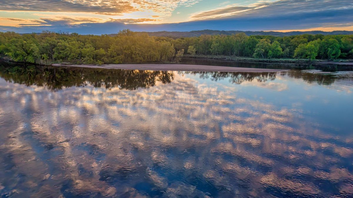
A river does not recognize a border post. Water falling in one country can irrigate farms in another, fill a reservoir in a third, and eventually reach a delta shared by several more. That physical fact makes rivers, lakes, and underground aquifers an unusually practical arena for international diplomacy: neighboring governments may disagree about much else, but they still need some way to measure, use, protect, and prepare for the same water.
This is not a marginal concern. Transboundary rivers, lakes, and aquifers connect 153 UN member states, while rivers alone account for about 60 percent of global freshwater flows. More than three billion people live in river and lake basins that cross borders. The central challenge is not simply dividing a fixed volume of water. It is building rules and habits that can work when rainfall shifts, populations grow, dams are proposed, pollution travels downstream, or floods arrive faster than expected.
A shared system, not a flowing boundary
Maps can make an international river look like a line separating sovereign territories. Hydrology tells a different story. A basin is a connected system: tributaries, wetlands, groundwater, soils, reservoirs, and the main river affect one another. An upstream irrigation project can alter downstream flows; a downstream wetland may depend on seasonal flooding generated hundreds of miles away; pollution can move across a border without waiting for a diplomatic agreement.
That is why the useful unit of cooperation is often the basin rather than the individual stretch of river inside one country. The same principle applies to aquifers, which are harder to see and therefore easier to overlook. Groundwater may move slowly, but pumping or contamination on one side of a border can still affect users elsewhere. International water governance is, in effect, an attempt to make political decision-making catch up with these physical connections.
- Shared-water questions commonly involve quantity, water quality, flood risk, drought, ecosystems, hydropower, irrigation, navigation, and drinking-water supply.
- A country can control infrastructure within its territory, but it cannot fully control the rainfall, upstream land use, or water releases that shape conditions beyond it.
- Climate change adds uncertainty by changing the timing and intensity of rain, snowmelt, drought, and extreme floods rather than merely reducing water everywhere in the same way.
Rules are designed for trade-offs
International water law does not offer a simple formula stating that every country receives an identical share. The 1997 UN Watercourses Convention instead centers on “equitable and reasonable” use. In practice, that means weighing relevant circumstances together: geography, climate, ecological conditions, populations that depend on the water, existing and potential uses, the effects on neighboring states, conservation needs, and available alternatives.
This approach can seem unsatisfying because it does not eliminate disagreement. Yet its flexibility reflects reality. A dry upstream region, a densely populated downstream city, a river-dependent fishery, and a hydropower system may all have legitimate interests that cannot be reduced to one number. The convention also establishes a duty to cooperate and a responsibility to take appropriate measures to prevent significant harm. Those principles create a common language for negotiation, even when countries ultimately need a basin-specific agreement to settle the details.
- Equity is not the same as equal division.
- Water allocations are only one part of an agreement; notification of planned projects, information sharing, consultation, and dispute procedures can be just as important.
- The strongest arrangements recognize environmental protection as part of long-term water security, rather than treating it as an optional extra.
Data is the everyday work of trust
Grand treaties receive attention, but much of water diplomacy is routine. Officials and scientists compare rainfall records, reservoir levels, river flows, water-quality samples, and flood forecasts. They agree on measurement methods, decide which data can be shared quickly, and establish who contacts whom during an emergency. This work is technical, but it is also political: a forecast cannot become a joint plan if the parties distrust the numbers behind it.
Joint bodies—such as river-basin commissions or bilateral water commissions—give this cooperation a durable home. They can coordinate monitoring, set agendas, commission studies, and keep communication going when national politics become difficult. UNECE’s reporting on the Water Convention found that joint institutions commonly work on data exchange, pollution, allocation, and flood and drought management. Their value lies partly in repetition. Regular contact makes it more likely that officials know each other before a crisis forces them to act.
- Shared data helps countries see the same problem, even when they prefer different solutions.
- Joint monitoring can reveal whether a claimed shortage, flood risk, or pollution incident is occurring and how large it is.
- Early-warning systems are a concrete benefit of cooperation because floods and droughts ignore national borders.
Benefits can be shared without splitting every drop
Water negotiations often stall when they are framed solely as a zero-sum contest over volume. A broader idea, known as benefit sharing, asks what the basin can produce collectively. One country may have strong hydropower potential, another may have productive farmland, and another may benefit most from reliable flood protection, river transport, or ecosystem restoration. Coordination can sometimes enlarge the overall gains, rather than merely reallocating losses.
That does not make cooperation automatically fair. The benefits from a dam, an irrigation scheme, or urban water transfer may accrue to one group while costs fall on another—especially rural communities, downstream users, or people whose livelihoods depend on seasonal flows. UNESCO notes that supposedly win-win arrangements can conceal unequal outcomes and difficult-to-measure costs. Effective agreements therefore need more than national-level bargaining: they need transparent assessment, public participation where possible, and attention to how gains and burdens are distributed within each country.
- Cooperative reservoir operation can improve flood control, energy production, and dry-season reliability compared with isolated decisions.
- Healthy wetlands and floodplains can provide shared protection by storing water, filtering pollution, and supporting livelihoods.
- A larger economic “pie” does not by itself answer who receives the benefits or who bears the disruption.
What cooperation can—and cannot—prevent
It is tempting to describe water either as an inevitable cause of war or as a guaranteed instrument of peace. Neither claim is reliable. Scarcity, poor governance, inequality, and political conflict can all make water disputes sharper. But shared water also creates a continuing incentive to communicate, because withdrawing from practical coordination can make floods, shortages, and infrastructure decisions more costly for everyone involved.
Cooperation does not require countries to become close allies. It can begin with narrow, useful steps: exchanging hydrological data, coordinating a flood warning, notifying neighbors about a planned dam, or establishing a technical committee. These measures do not resolve every territorial or political dispute. They can, however, reduce surprises and create channels for addressing problems before they become harder to manage. The most durable arrangements are often less dramatic than a headline-making summit: they make coordination ordinary.
The gaps remain significant. According to the UN’s 2024 assessment, only 32 of the 153 countries that share transboundary waters had operational arrangements covering at least 90 percent of their shared basin area. That statistic does not mean the remaining countries have no cooperation at all, but it does show how much shared water remains without comprehensive, functioning frameworks. As climate variability increases, the practical case for such frameworks becomes stronger—not because water diplomacy is easy, but because unilateral choices often transfer risk across the border.
- Cooperation is most credible when it continues during ordinary years, not only after a disaster.
- Flexible agreements are better suited to changing conditions than rules built around a single assumed flow level.
- Technical dialogue is not a substitute for political settlement, but it can preserve communication and reduce avoidable harm.
Final thoughts
The quiet diplomacy of shared rivers is not mainly about ceremonial declarations. It is about institutions that can compare measurements, hear competing needs, make trade-offs visible, and adjust as conditions change. In a world of changing rainfall and rising demand, that ordinary capacity may be one of the most valuable forms of international resilience.
A river basin cannot be managed as a set of disconnected national fragments without consequences. Cooperation does not erase conflict or create perfect fairness. It does something more practical: it gives countries a way to recognize that the water system is shared, and to act accordingly before the costs of ignoring that fact flow downstream.
Sources
Photo by Tom Fisk on Pexels.